Good-bye Statia, Hello St. Kitts and Nevis 1/31/24

Dusk at White House Bay, St. Kitts

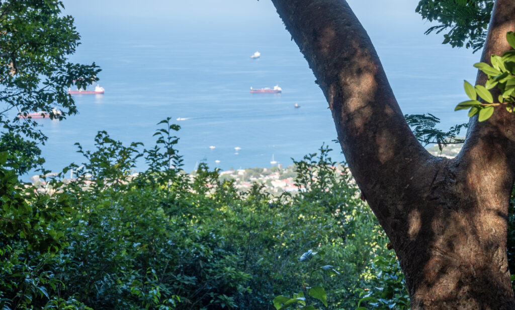
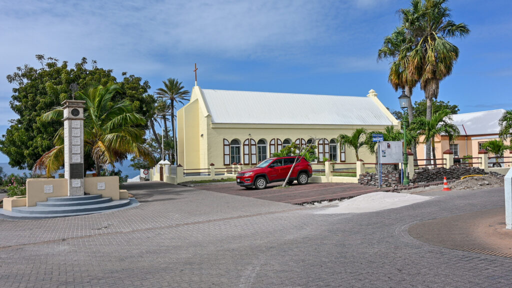
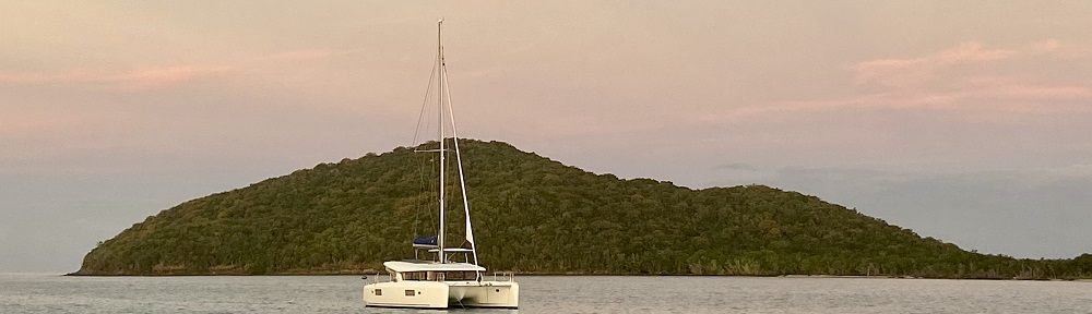
Part of being the captain is understanding and monitoring the wind and sea state.  After clearing out of Statia, we headed towards St. Kitts and Nevis.  Our plan was to see if we thought we could anchor comfortably.  If we believed that was a possibility, we would check in in Nevis.  There was very little wind and it took us approximately 5 hours to motor to Nevis.  Along the way we saw that White House Bay and Balast Bay had room for more boats and the anchorage conditions appeared calm.  So, we continued to Nevis and checked into the country as fast as we could. 

Sunset at Whitehouse Bay, St. Kitts

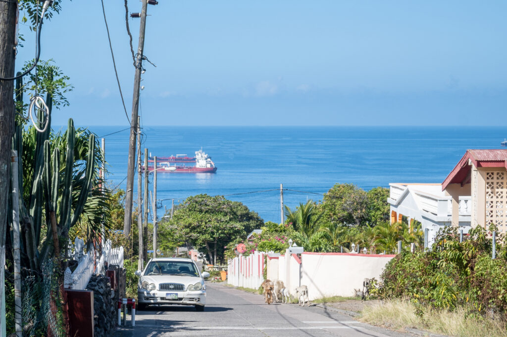
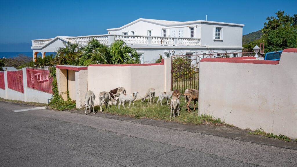
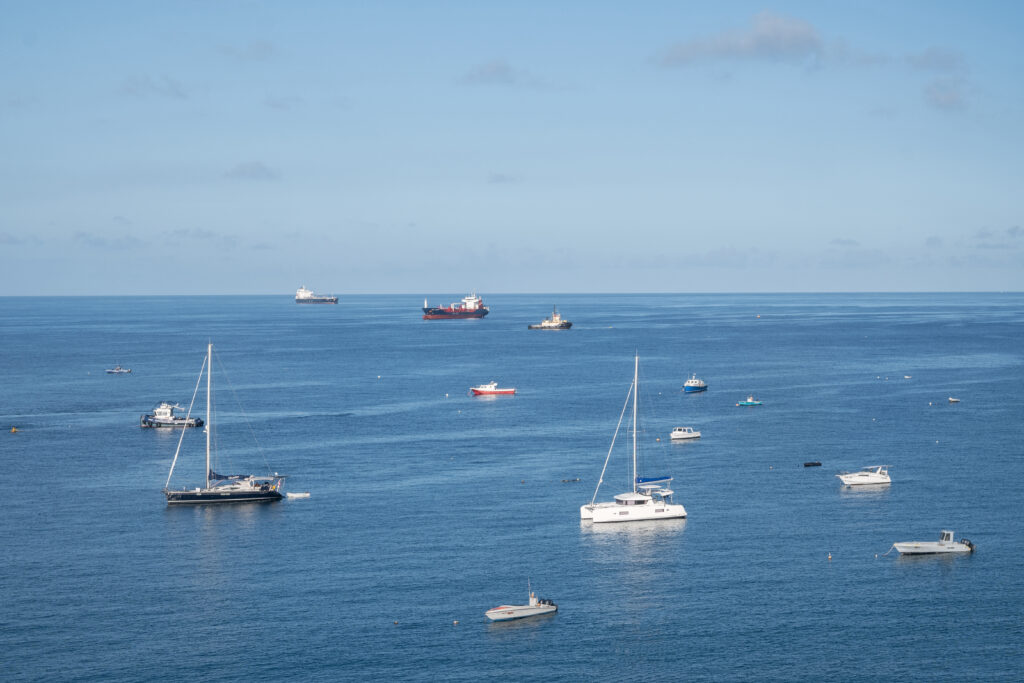
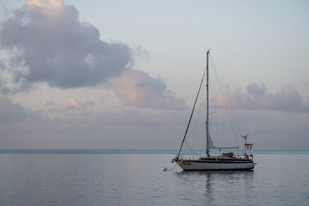
Unfortunately, the wind was blowing from a weird direction in Nevis and Steve didn’t want to stay there.  So, we motored back to White House Bay on St. Kitts and picked up a mooring ball.  We visited this bay last year and enjoyed its calm conditions.  It is within walking distance of a superyacht marina.  The turquoise water is typically calm and offers good snorkeling.  So, we plan to stay here for several days while the winds settle down.

Quill Trail, Statia 1/30/24

Quill Trail Path, Statia

On 1/30/24 we decided to hike up the Quill trail to the top of the dormant volcano.  It took approximately 1.5 hours to get to the top, hiking through a rainforest.  The trail was remarkably well marked.  Not far up the trail I scared a black snake with yellow stripes off of the trail.  I think it was catching some morning sun.  We saw, and heard, lots of roosters cock-a-doodling.  We also saw goats munching away on various plants. 

Walking along the Quill Trail Path, Statia

The most unique animals that we saw were the land hermit crabs.  They were so plentiful along the trail that we had to be careful not to step on them.  They were funny, in that they would get scared when we approached.  So, we would take a step and watch hermit crabs roll themselves off of the trail, down the hill. 

Hermit Land Crabs, Statia

At the top rim of the volcano, we had a clear view of the sunken crater within the volcano.

The volcano cone, Statia


View from the top of the Quill Trail, Statia

After reaching the rim, we decided to go a little further on the trail, towards the panorama view. While the picture doesn’t make the trail seem difficult, it was actually quite steep. No Caribbean hike is complete without ropes to hold on to as we ascend the mountain. The Quill Trail didn’t disappoint us.

Ropes to help us ascend the steep parts of the trail
Trail signs told us what to watch out for while walking on the Quill Trail.

Oranj, Statia

Round-about, Oranj, Statia

There are approximately 60 oil tanks on the northern part of the island.  It is apparently used to hold reserves for many countries.  We can’t see them from the anchorage, which is terrific. The island is known for diving and, as I mentioned, the water is very clear here.  The small town of Oranj is being rebuilt.  Caribbean-style gingerbread houses are found throughout town in varying states of repair.  Some have been restored and are beautiful. 

Church, Oranj, Statia

The streets are made of a combination of cobblestones and cement and are very neat.  We saw a couple of restaurants, some places to stay and a boutique or two. 

Paved road in downtown Oranj, Statia
Historical Museum, Oranj, Statia

We also saw services like small grocery stores, beauty salons, massage therapy, etc. 

Statia 1/29/24

Ruins being restored along the coast of Statia

There are many historic buildings on the island, along with ruins.  At one time, Statia was a busy trading port.  People would come from all over the world to trade items here in this neutral country, including slaves.  Once the slavery trade ended, and interest in sugar cane diminished, there was less of a need to trade in this neutral country.  The island was known as the Golden Rock in its heyday. 

Mural along the ocean front, Statia

There are approximately 60 oil tanks on the northern part of the island.  It is apparently used to hold reserves for many countries.  The island is known for diving and, as I mentioned, the water is very clear here. 

Below are pictures of some colorful houses we walked past when exploring the outskirts of Oranj.

Sint Eustatius 1/28/24

Anchorage in Statia

Pulling into the bay at St. Eustatius, also known as Statia, was a little challenging, as oil tankers were parked outside of the northern port.  When sailing, it is sometimes difficult to determine if a tanker is anchored or moving.  Eventually, Steve figured it out and we were able to pull into the bay.  We anchored close to town.  The water is a gorgeous, light emerald green color and is crystal clear, even at the dock.  Unfortunately from the distance the water looks more blue than green. We can see the tankers behind us but where we are we mostly see a sleepy Caribbean island going about life. 

We arrived on Sunday after customs closed.  So, I raised our “Q” flag, which is a yellow flag that lets the country know that we haven’t cleared through customs yet. 

On 1/29/24 we hopped in our dinghy and went to clear in.  The dinghy dock within the customs area is a little challenging.  There are stairs down to the water, which is welcomed.  However, we needed to tie our dinghy a little ways away.  Once we got the hang of it, it was relatively easy to navigate.  On this island we had to go through customs and immigration and also pay the harbour master.