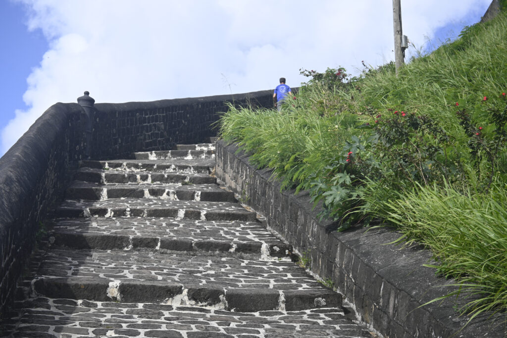
Brimstone Hill Fortress, St. Kitts

Stairway up to the main part of Brimstone Hill Fortress, St. Kitts

On Feb. 1, 2023, we decided to take a taxi to the Brimstone Hill Fortress.  It is a UNESCO world heritage site, so we thought we had to see it.  On the way to the Fortress, our taxi driver pointed out some of the other historical sites on the island.  St. Kitts no longer farms sugar cane and mainly relies on tourism for its economy to flourish.  While the southern part of St. Kitts is sparsely populated with lush green mountainsides and small cliffs, the rest of the island is fairly built up.  The Frigate Bay area contained many of the chain hotels and a golf course.  Basseterre appeared more industrial than charming.
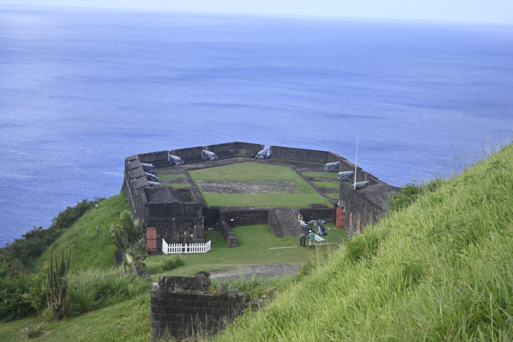
One of Several Cannon Areas, Brimstone Hill Fortress, St. Kitts

Driving up the hill to the Fortress was an adventure.  Many parts of the road were barely wide enough for our taxi to get through.  And, we saw some wild monkeys in the road. 
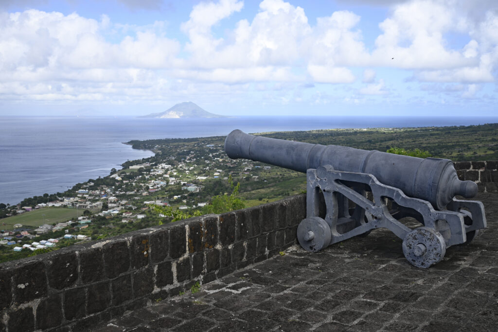
St. Eustatius Is The Island In The Background, Brimstone Hill Fortress, St. Kitts

We were the first visitors of the day at the fortress, so we had it to ourselves for a while.  We were thankful for this, as I’m sure that the cruise ships would send busloads of people to explore it. 
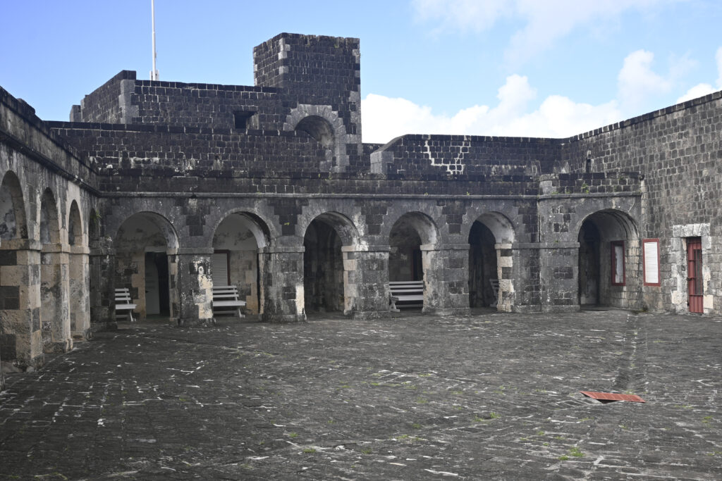
Inside the Brimstone Hill Fortress, St. Kitts

We were impressed by the sheer size of the fortress.  It was much larger than any other fortress that we have seen in the Caribbean. 
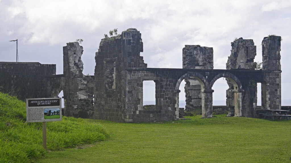
Captains’ Quarters, Brimstone Hill Fortress, St. Kitts

And, it was fairly well preserved, making it easy to see the different areas such as where the cannons were, the living quarters, and the water catch basin.  The views from the fortress were also beautiful.  We could easily see St. Eustatius and Saba in the distance. 
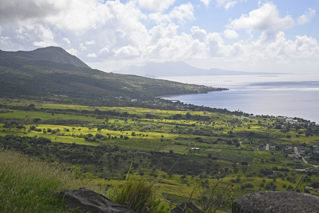
St. Kitts’ Countryside

Shipwreck Beach Bar, Friar’s Bay, St. Kitts

We decided to try to find a way through the reef along shore so that we could beach our dinghy near the Shipwreck Beach Bar.  We were successful and actually used the same location to tie up several times because there was a steel cable there that enabled us to secure our dinghy with a lock. 

Shipwreck Beach Bar, St. Kitts

The Shipwreck Beach Bar was terrific!  It was extremely casual, as many people popped in after spending time on the beach and in the water.  The bar itself was up a half a dozen or so steps from the beach.  Sand made up part of the floor.  The food was excellent.  I ordered Swordfish tacos and Steve had some jerk chicken.  And, they offered a drink called the Funky Monkey, which contained coconut rum, chocolate, Baileys, and I don’t know what else.  It was very good.  While there, we met a family from Dartmouth, which is located in Southern Massachusetts.  It is funny how we can meet people from close to our home so far away – it has happened many times.

Snorkeling in the Hidden Cove, Friar’s Bay, St. Kitts

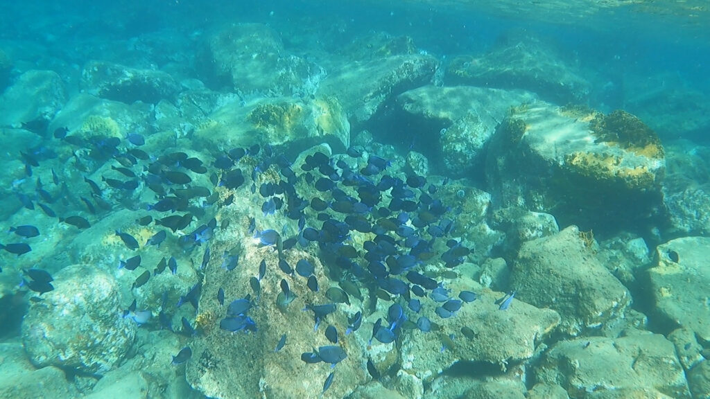
Blue Tang School, Friar’s Bay, St. Kitts

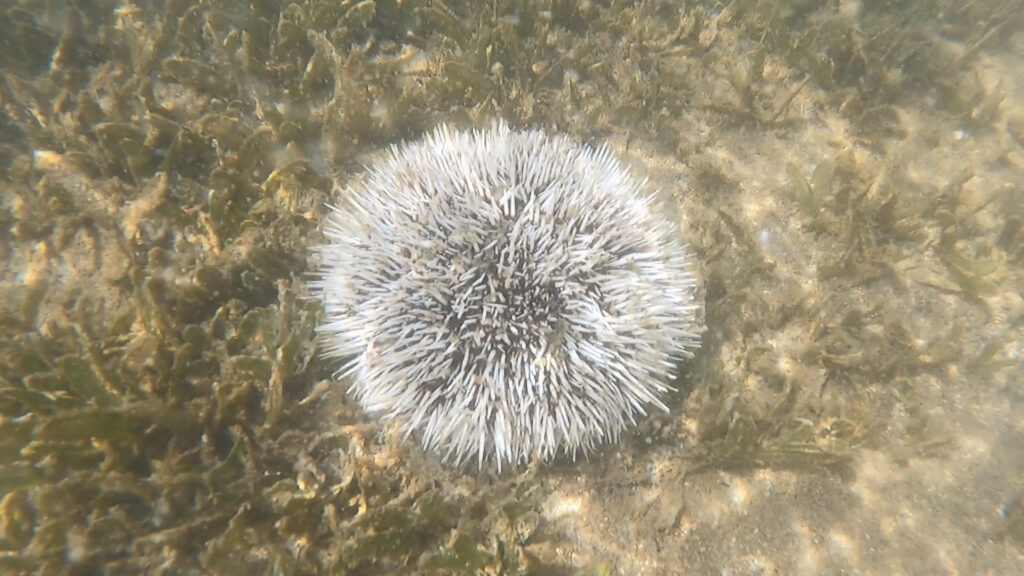
We were able to take our dinghy into the small bay and beach it on the sandy shoreline.  Then, we waded into the water, careful to avoid the prickly sea urchins.  The water inside of the cove was fairly cloudy without much sea life.  However, once we swam just outside of the bay, over the rocks, the water was crystal clear and we saw schools of Blue Tangs and a variety of other fish like trumpetfish, Sargent Majors, Groupers, Rainbow fish and more.  We also saw a Ray.  This area for snorkeling definitely lived up to its reputation with so many fish in the area. 

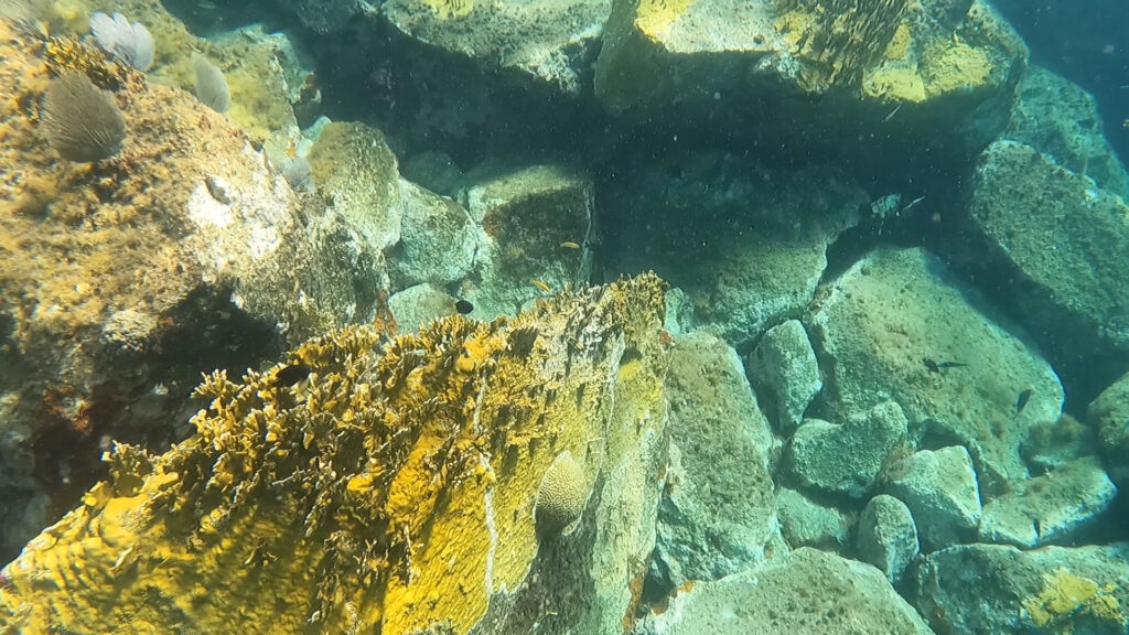
Fire Coral, Friar’s Bay, St. Kitts

There was also a lot of fire coral, which is jagged, yellowish coral growing on top of rocks. 

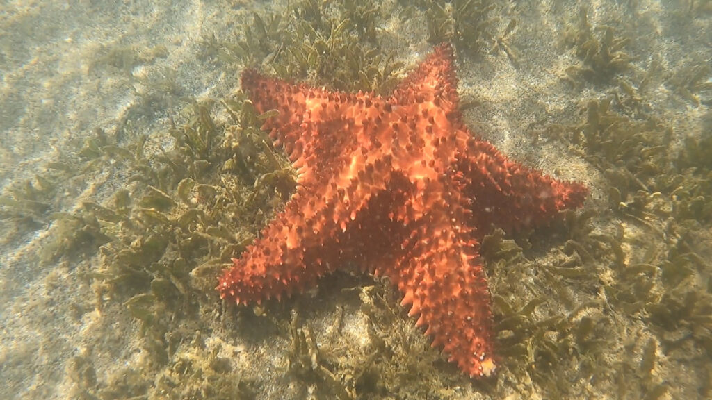
Starfish at Friar’s Bay, St. Kitts

And, as we returned to shore, we saw several star fish in about a foot of water. 

Sea Urchin, Friar’s Bay, St. Kitts

Friar’s Bay, St. Kitts, 1.30.23

The wind started getting “squirrely” in this anchorage, which meant that the boats were spinning around their anchors in random directions.  So, after staying here one night, we decided to move our boat further north to Friar’s Bay.  This bay has a long strand of beach along it.  The Cambrola Restaurant is at the northern side of the beach and a dive of a restaurant and bar called “Shipwreck Beach Bar” is at the southern end.

Shipwreck Beach Bar, Friar’s Bay, St. Kitts

I can tell already that this area is teeming with life.  I saw a turtle poking its head up for air and gliding along the water’s surface.  Every once in a while a fish will jump high out of the water.  Surface fish will move in waves at the surface of the water, making it look like a silver swell moving along.  Flocks of small white birds fly across the bay gracefully.

We woke up this morning, 1/31/23, to see a large, white, Seabourn cruise ship anchored behind us.   In the distance, at the cruise port in Basseterre, we can see two additional cruise ships.  St. Kitts must be a popular destination for them. 

Seabourn Cruise Ship Parked Behind Us, St. Kitts

We took our dinghy into the bay right off of the Carombola Restaurant and beached it in front of where the Seabourn tenders were landing.  They were setting up on shore to welcome their guests.  Apparently they rent out the whole restaurant and beach for the day when they are in anchorage.  They were not happy that we put our dinghy where they were.  However, since we were only walking the beach that morning, we were able to leave it there. 

When walking on the beach, we could clearly see the reef lining running parallel to the beach, approximately 15 feet off of shore.  While there were a couple of beach bars along the stretch of beach, hidden in amongst the trees, they didn’t seem as though they were open.  Only the Shipwreck Beach Bar and the Carombola Restaurant had people sitting on chairs outside of their establishments.

Carombola’s Private Cove, Friar’s bay, St. Kitt’s

Once we got back to the Carombola Restaurant, we found the private cove that people wrote into Trip Advisor about.  It was a picturesque little cove off of the far side of the restaurant, complete with a small strip of sand and a rock outcropping in the middle.  So, we decided to try snorkeling out there.

Whitehouse Bay, St. Kitts 1.29.23

Whitehouse Bay, St. Kitts

On 1/29/23 we moved our boat to Whitehouse Bay.  While Ballast Bay was fine condition wise, we were getting boat wakes from boats entering the marina.  So, we moved our boat to the next anchorage to the north. 

Our Boat Anchor, Whitehouse Bay, St. Kitts

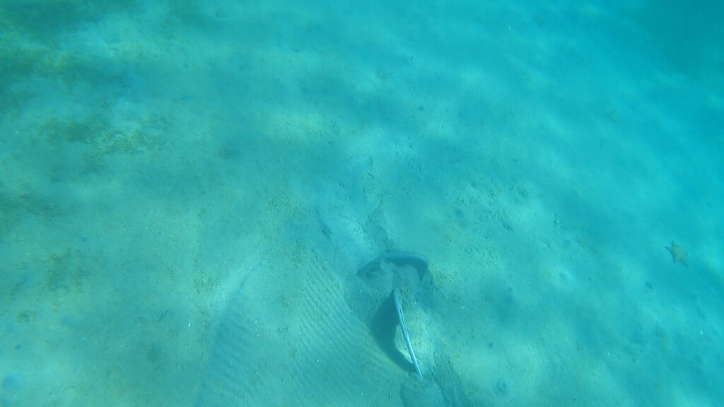
We went snorkeling right off of our boat.  The water in Whitehouse Bay was very clear, even in 20 feet of water where we were anchored.  As we started snorkeling, we went under the boat and swam on our anchor.  We could clearly see it stuck into the sandy bottom.  Then, we started snorkeling towards shore and I saw a ray on the bottom, looking up at me, seemingly smiling.  It was camouflaged in a color that matched the sandy bottom.  As we neared shore, we came upon rocks which made up the reef. 

Fish at Whitehouse Bay, St. Kitts

There were many different kinds and sizes of fish swimming around in these rocks.  And, we saw a family of lobsters hiding under one of the rocks.  We saw a variety of grouper, rainbow fish, Sargent majors, blue tangs, trumpet fish, and more.  And, there was a variety of coral growing on the rocks.  It was a really good place to snorkel.

Fans at Whitehouse Bay, St. Kitts

Ballast Bay, St. Kitts

Ballast Bay, St. Kitts

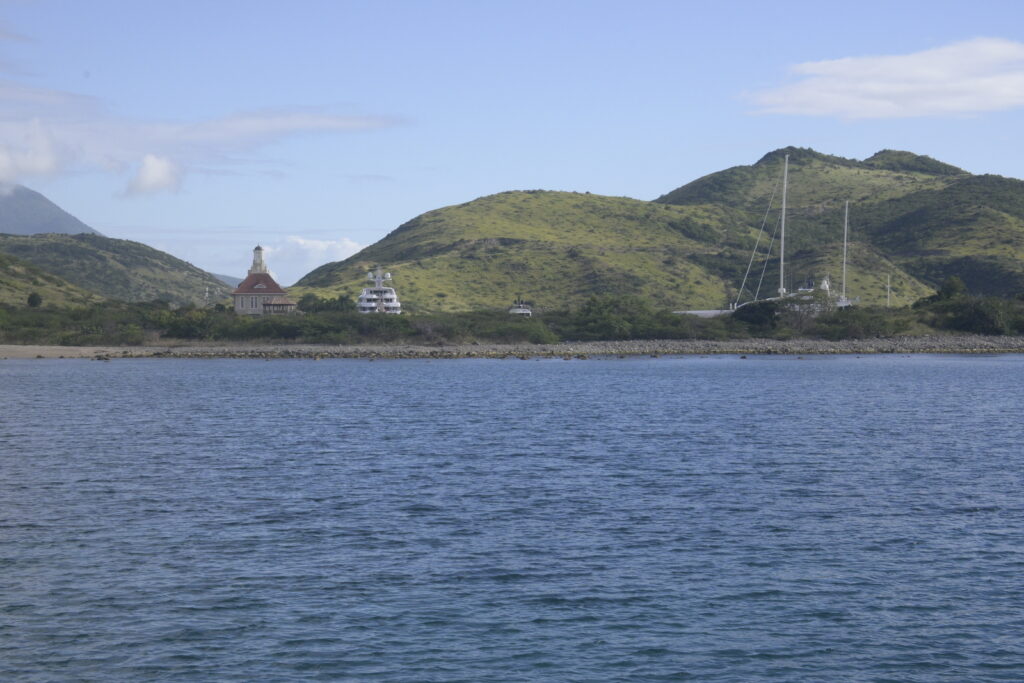
Northerly swells started coming into the anchorage at Pinney’s Beach.  When this happens, the port (left) side of the boat sounds like water is banging up against the hull.  So, on 1/28/23 we decided to leave our mooring ball and cruise by some of the anchorages.  We looked at the one other Nevis anchorage recommended in the Doyle guide called “Oualie Beach.”  It was a smaller area that was supposed to have calmer waters in northerly swells.  Unfortunately, it was extremely crowded with small, local boats.  We didn’t think we could “tuck in” our boat close enough to shore to be protected.  So, we crossed over to St. Kitts, which was approximately a 15-minute motor from Nevis.  We passed a couple of different bays on the southeastern side of St. Kitts.  There was only one boat there and it didn’t appear that there were any accessible amenities.  So, we continued around the southern tip of the island and decided to anchor outside of the marina called St. Christophe.  There are two other boats in the bay, both American flagged.  Like outside of Charlestown, the water is dark and we can’t see the bottom.  I’m guessing that there is grass below us. 

Charlestown, Nevis

Fort Charles, Charlestown, Nevis

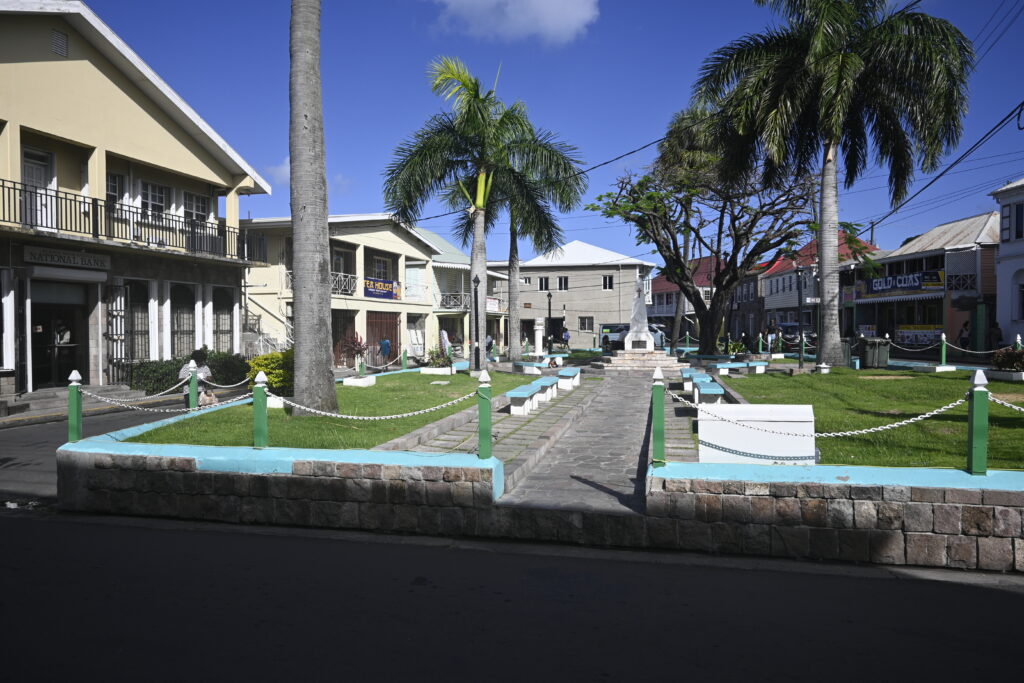
We spent Friday exploring Charlestown, the capitol of Nevis.  It was bustling for some reason.  As we walked towards the IGA, a large grocery store approximately two miles from the dinghy dock, we saw the fruit and vegetable market full of produce, with multiple vendors.  The other day there were only two or three vendors located in the building.  We walked past the magistrate’s office and courthouse.  I really wish I had been able to take a picture there, as we saw people dressed in regal attire.  I’m sure that this was traditional business wear, but it was interesting to see.  There appeared to be an officer dressed in a brown suit with gold buttons and red trim.  We also saw someone dressed in black clothes with what appeared to be a black cowboy hat with swagger.  People were mulling about outside of the building, which was located along a square.  In the square people were going about their business, chatting away with friends and visiting the smaller businesses along the streets.

Fort Charles, Charlestown, Nevis
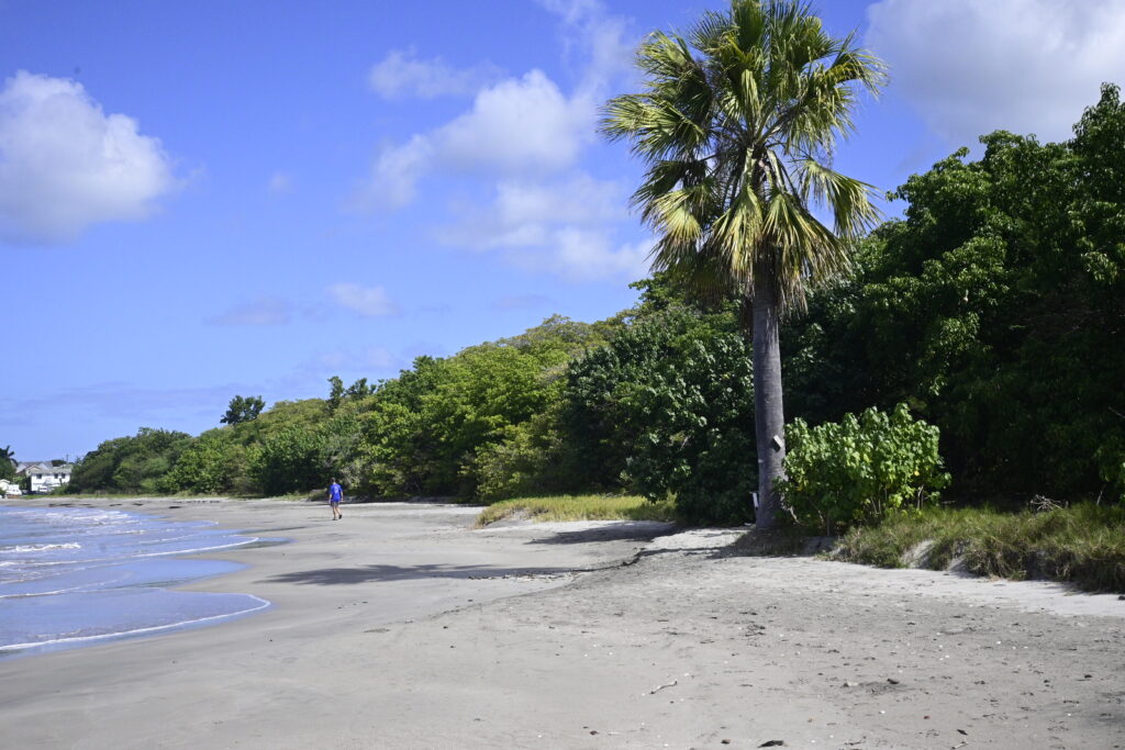
Beach at Charlestown, Nevis

Sunshines, Nevis

In the evening we decided to dinghy to Pinney’s Beach, in front of us.  There is a semi-famous beach bar there called “Sunshines” and they are known for serving a drink called a “Killer Bee.”  There wasn’t a dinghy dock, so we had to beach our dinghy.  This involves motoring up to shore, pulling the motor up, and jumping out into the water so that we can pull our heavy dinghy up onto the beach, out of the surf.  Our dinghy is heavy for just the two of us to pull up onto shore, especially on beaches like this that are steep.  As we were pulling it up, another couple was doing the same thing and they helped us pull our dinghy up out of the surf.  Then, we helped them do the same with their dinghy.  I though our dinghy was heavy, but theirs was even heavier.  They didn’t even try to get it completely out of the surf.  Instead, we pulled it out of the surf partway and then they dug their anchor into the beach to hold it.  They were a couple from Britain.  Unfortunately they were having drinks with a different couple and couldn’t join us. 

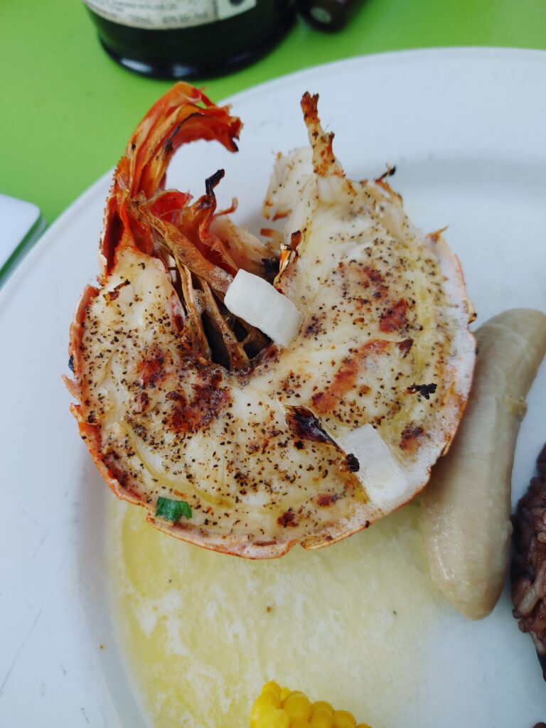
Lobster at Sunshines, Nevis

We chose a table long the beach.  This beach bar actually had floors and was a step above the sandy beach.  A vendor or two were on the beach.  And, there was a corn hole game set up, all under palm trees.  A small, smoky fire was lit to try to keep the mosquitos at bay.  Unfortunately I forgot to put bug spray on so I got dozens of bites.  We each ordered  a Killer Bee, which was a passion-fruit inspired rum punch and it was delicious.  It tasted like fruit juice, even though we knew there was rum in it.  This bar had wifi so I took advantage of it and Skyped with Dad.   After a while, we decided to order the lobster and conch dishes and shared them.  They were both delicious!  The owner, Sunshine, happened to be sitting at the next table and we started talking to him.  He started his bar on the beach with a cooler.  Now it is a farm-to-table beach bar that is doing well.  He brought us each a salad, which was incredible.  I typically don’t eat many salads in the Caribbean because the vegetables are washed in water that might not agree with me.  However, these were so good that we took a chance.  We also ordered some Calamari which was also very good.  The sunset was beautiful and we had an wonderful end to our day of exploring Nevis.

Charlestown, Nevis 1.26.23

This morning, 1/26/23, we went into the town of Charlestown and “cleared in” to customs and immigration for the sovereign countries of Nevis and St. Kitts.  Then we walked around town.  The town itself was charming and a little more involved than some of the smaller islands that we’ve been to.  There was a downtown area with a fruit market, several small grocery stores, several banks, small businesses, shops, and more.  Town was several blocks long and the streets had clearly-marked signs.

Square in Charlestown, Nevis

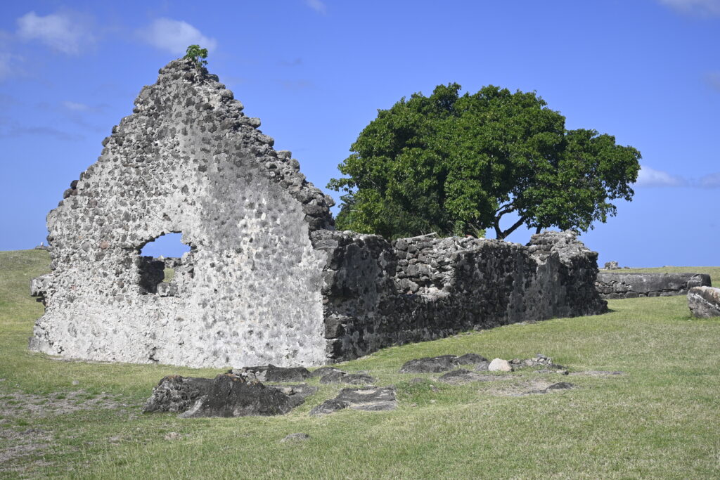
First we visited the Museum of Nevis to learn about Alexander Hamilton.  Even though he is considered one of the United States’ founding fathers, he was born in Nevis.  The museum was small but nicely done.  Then we walked along the streets to see the different stores and to “window shop” at the bakeries.  From there, we walked about a mile out of town to Fort Charles.  This was not very built up and goats mowed the grass.  However, it was a nice walk on the streets, ending up at a point in our bay.  We can actually see Fort Charles from our anchorage.  We were the only visitors walking on the grounds, which was fun.  There were rusted cannons pointing out to the sea as well as the ruins of a building or two.  On our return, we walked along the black-sand shoreline to our dinghy, which was tied at the dock.

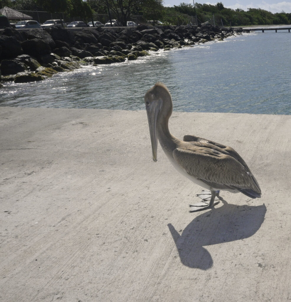
Pelican on the Dinghy Dock, Nevis

Pinney’s Beach, Nevis 1.25.23

On 1/25/23 we woke up early and left around 6:30a, just after the sun was up.  Again, we wanted to be sure that we were able to see any fish pots in our path.

When we sail, we have our radio tuned to channel 16, which is the emergency channel.  (A PanPan call means you need assistance but you are not sinking or in catastrophic danger.)  While we were a couple of hours off of Nevis, we heard a PanPan call regarding a missing diver.  The coast guard was responding, as were other sailing vessels in the area.  It added a bit of excitement to our 10-hour sail to listen to the coordinated rescue effort.  I didn’t hear whether or not they found the diver, but I hope so.  It was too late to check in when we arrived.  So, I hoisted the “Q” flag, which is a yellow flag indicating that we haven’t checked into customs yet.

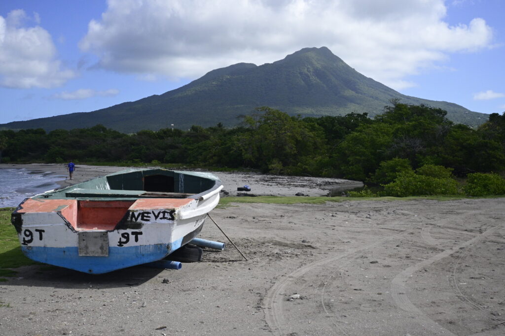
We are anchored in front of Pinney’s Beach, which is probably a mile-long, white-sand beach.  We were lucky enough to get a mooring ball when we arrived yesterday.  There are roughly ten balls in the mooring field.  Anyone who doesn’t get a ball has to anchor.  The water under our boat is dark and not nearly as clear as we saw at our last anchorages in Antigua.  The island itself is steep-to, which means that it is deep water up until close to shore.  There is a beautiful, 3,800 foot above sea level mountain in front of our anchorage, whose top is frequently touched by clouds.  Though, we have seen the clouds dissipate for a few minutes here and there. 

Nevis